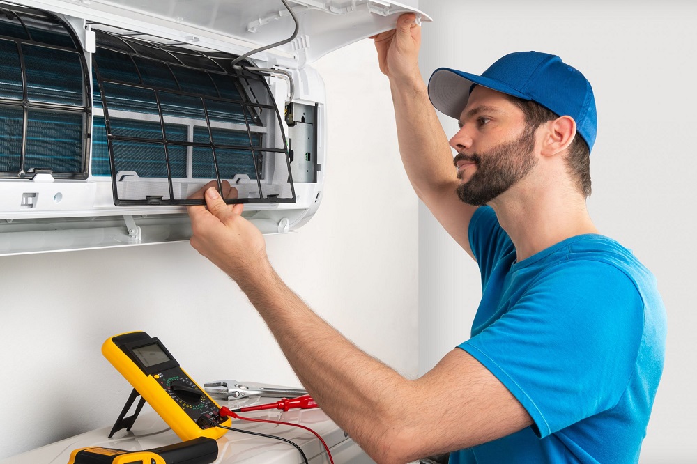
What makes thermal imaging a key part of modern drone inspections?
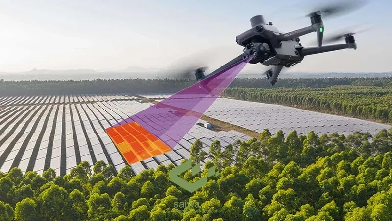
Professional aerial inspections now include thermal imaging as a core component. The technology detects temperature variation across surfaces at a resolution and coverage scale that no ground-based thermal assessment method can replicate efficiently. The thermal sensors reveal more about asset condition than standard visual imaging, which is why their integration into aerial inspection platforms has become standard practice.
Solar panel drone inspections in Miami, FL use thermal imaging because conditions affecting panel performance are not visible to standard cameras. Thermal signatures are produced by cell degradation, hotspot formation, bypass diode failure, and delamination. Identifying those signatures from the air across an entire array within a single flight gives operators condition data that would take days to gather through ground-level testing of individual panels.
Heat reveals hidden defects
Thermography detects infrared radiation emitted from surfaces. Every material emits thermal radiation at a rate influenced by its temperature. Anomalies within a structure or system produce temperature differentials that the sensor records as distinct signatures in the captured data. What makes this particularly valuable in aerial inspection is the speed at which a drone-mounted thermal sensor covers surface area compared to any contact or ground-based thermal method. Thermal imaging identifies the following defect categories:
- Hotspot formation on photovoltaic cells indicates localized resistance increase or cell damage within an otherwise functioning panel
- Moisture intrusion beneath roofing membranes, where trapped water produces a thermal mass signature distinct from dry surrounding material
- Insulation voids within building envelopes where heat transfer rates differ from the designed thermal resistance specification
- Electrical anomalies along the distribution infrastructure where connection resistance or load imbalance generates elevated temperature at specific points
- Delamination within composite structures, where separation between material layers disrupts the expected thermal conductivity profile
Aerial coverage compounds value
The combination of aerial mobility and thermal sensor capability produces something neither element delivers independently. A thermal camera on the ground covers a limited surface area from fixed positions. A drone carrying the same sensor covers entire roof planes, full panel arrays, and complete facade elevations in continuous passes. This captures every section at consistent imaging angles and distances. Consistency matters for data quality. Ground-based thermal imaging produces variable results because distance, angle, and ambient reflection conditions change between positions. An aerial platform maintains controlled altitude and flight path geometry across the full capture area. This produces a thermal data set with consistent parameters throughout. Consistent parameters make anomaly identification more reliable and comparison between inspection cycles more accurate.
Data supports decisions
Thermal data collected during an aerial inspection is not raw imagery. Processing workflows convert captured thermal frames into calibrated outputs that engineering and maintenance teams use directly. Thermal aerial inspection programs typically include:
- Georeferenced thermal orthomosaics that map temperature distribution across the full inspected area, with precise location data attached
- Annotated anomaly reports that classify identified thermal signatures by defect type and severity rating
- Comparative thermal data sets that track temperature pattern changes between successive inspection cycles
- Prioritized intervention lists that rank identified anomalies by severity to support maintenance scheduling decisions
These outputs move directly into asset management workflows without additional field verification in most cases. This shortens the path from inspection to informed maintenance action.
Thermal imaging earns its position in modern aerial inspection programs because it surfaces condition information that no other remote sensing method captures as efficiently across large surface areas. Its integration with aerial platforms extends that capability to the scale and speed that current asset management demands require.